Contents
Overview
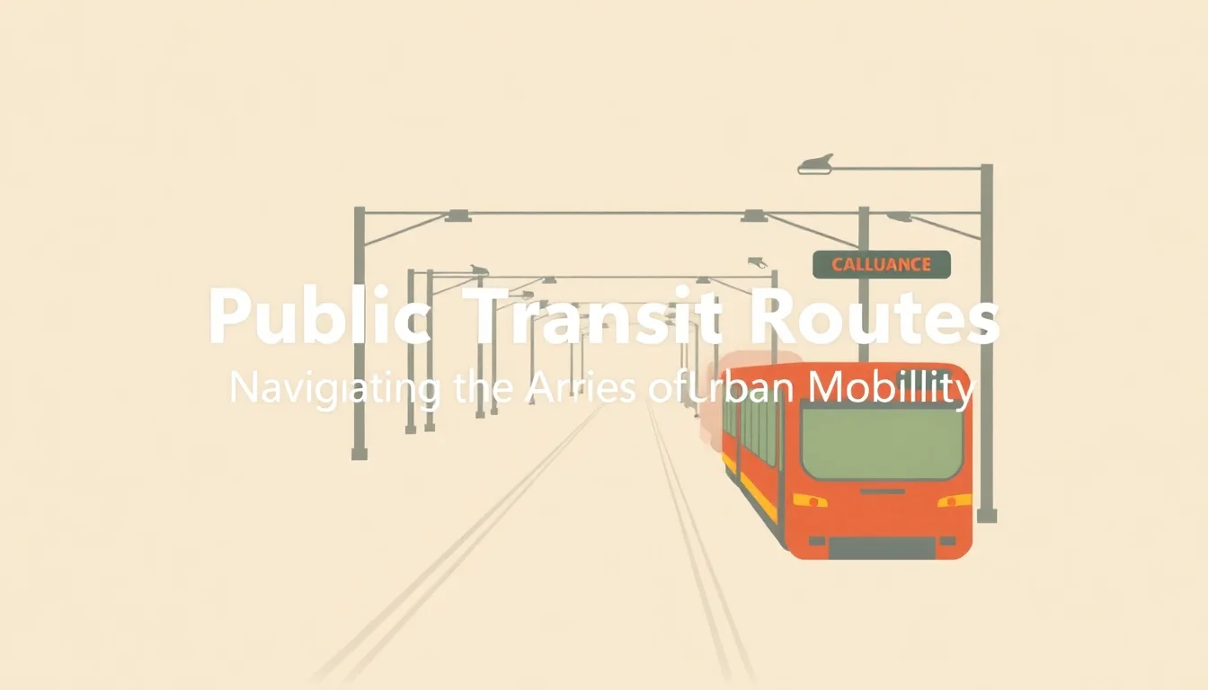
Public transit routes are the arteries of urban mobility, defining the paths that buses, trains, trams, and ferries traverse to connect people with destinations. These aren't just lines on a map; they represent complex logistical networks designed to move large numbers of people efficiently and affordably. Understanding these routes is fundamental to navigating any city, from the sprawling metropolises of Tokyo's intricate rail system to the more localized bus networks in smaller towns. They are the backbone of daily commutes, essential for accessing work, education, healthcare, and leisure, and their design often reflects a city's historical development and future aspirations.
📍 Where to Find Them
You'll find public transit routes integrated into the fabric of most urban and suburban environments globally. Major cities typically offer extensive networks managed by municipal or regional transit authorities. For instance, the MTA operates hundreds of subway and bus routes across five boroughs, while London's TfL oversees the iconic Tube and extensive bus services. Smaller cities might have simpler bus systems, often accessible via local government websites or dedicated transit apps. Identifying the specific routes serving your area usually involves consulting official transit maps, mobile applications like Google Maps, or third-party transit aggregators.
⏰ Operating Hours & Frequency
Operating hours and frequency are critical factors that vary dramatically by route and city. High-demand routes in major urban centers, like Parisian Métro lines, often run from early morning (around 5 AM) until well past midnight, with headways as short as 2-3 minutes during peak hours. Conversely, suburban or rural routes might have limited service, perhaps only running a few times a day, with service ending by 9 PM. Weekend and holiday schedules are frequently reduced. It's essential to check specific route timetables, as relying on general assumptions can lead to significant delays or missed connections.
💰 Fare Structures & Payment
Fare structures for public transit routes are diverse, ranging from simple flat fares to complex zone-based or distance-based systems. Payment methods also vary, with many systems now embracing contactless payments via smart cards (like London's Oyster Card or San Francisco's Clipper Card) or mobile ticketing apps. Some routes may offer daily, weekly, or monthly passes for cost savings, while others might have specific fare policies for seniors, students, or low-income riders. Understanding the pricing model before you travel can prevent unexpected costs and ensure a smoother boarding experience.
⭐ User Ratings & Vibe Scores
User ratings and Vibe Scores for public transit routes are a fascinating, albeit often overlooked, metric. While official performance data focuses on punctuality and ridership, user sentiment captures the qualitative experience. A route with a high Vibe Score might be praised for its scenic views, comfortable seating, or the vibrant mix of passengers, even if it's not the fastest. Conversely, a route with a low score might be plagued by overcrowding, frequent delays, or a generally unpleasant atmosphere. These subjective assessments, often found on transit forums and review sites, offer a crucial, human-centric perspective beyond mere operational efficiency.
🆚 Comparing Transit Options
When comparing public transit routes, consider factors beyond just the destination. Bus routes are often more flexible and can reach areas not served by rail, but can be slower due to traffic. Train routes, including subways and light rail, typically offer higher speeds and greater capacity, ideal for longer distances or dense urban cores. Ferry routes provide unique scenic advantages and can be crucial for cross-water travel. Each mode has its own strengths and weaknesses, and the optimal choice depends on your specific needs for speed, cost, accessibility, and the overall travel experience.
🚀 The Future of Transit Routes
The future of public transit routes is being shaped by technological advancements and evolving urban planning philosophies. Expect to see greater integration of on-demand microtransit services that complement fixed routes, especially in lower-density areas. Autonomous vehicle technology could eventually transform how routes are operated, potentially leading to more flexible scheduling and increased efficiency. Furthermore, a growing emphasis on sustainability and reducing carbon footprints will likely drive investment in electric fleets and the expansion of transit networks to encourage modal shift away from private cars, aiming for more livable and connected cities.
Key Facts
- Year
- Late 19th Century (Modern Systems)
- Origin
- Industrial Revolution Urbanization
- Category
- Transportation Infrastructure
- Type
- Systemic Concept
Frequently Asked Questions
How do I find the best route for my commute?
Start by using a journey planner app like Google Maps or a city-specific transit app. Input your origin and destination, and it will suggest available routes. Compare the options based on travel time, number of transfers, and departure/arrival times. For a more personalized recommendation, consider checking local transit forums or asking for advice in community groups related to your city.
Are public transit routes accessible for people with disabilities?
Most modern transit systems are designed with accessibility in mind, featuring ramps, lifts, audible announcements, and designated seating areas. However, accessibility can vary significantly by route and vehicle type. It's advisable to check the specific accessibility features of a route or vehicle with the transit authority before your trip, especially if you have specific mobility needs. Many transit authorities provide detailed accessibility information on their websites.
What should I do if I miss my stop?
If you miss your stop on a bus, you can often ask the driver to let you off at the next safe location, though this is at their discretion. For trains or trams, you'll typically need to disembark at the next station and take the train back in the opposite direction to your intended stop. Always be aware of your surroundings and inform the driver or conductor if you are unsure.
How can I save money on public transit routes?
Look into purchasing daily, weekly, or monthly passes if you use transit frequently. Many cities offer discounted fares for students, seniors, and low-income individuals – check eligibility requirements. Some employers also offer commuter benefits programs that can provide pre-tax deductions for transit passes. Bundling trips or using off-peak hours might also offer savings on certain fare structures.
What is a 'Vibe Score' for a transit route?
A 'Vibe Score' is a qualitative, user-generated assessment of the overall experience on a particular transit route. It goes beyond objective metrics like punctuality to capture subjective elements such as comfort, cleanliness, passenger demographics, scenic value, and the general atmosphere. A high Vibe Score suggests a pleasant and enjoyable journey, while a low score indicates potential issues with the passenger experience.
How do I report a problem with a public transit route?
Most transit authorities have dedicated customer service channels for reporting issues such as delays, cleanliness problems, safety concerns, or lost items. This typically includes a phone number, email address, or an online feedback form on their official website. Providing specific details like the route number, date, time, and location of the incident will help them address your concern effectively.